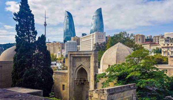
Baku
This region, which keeps the beliefs of millennia alive, where different peoples and religions meet, rich customs and traditions, and amazing nature, is distinguished by its color.
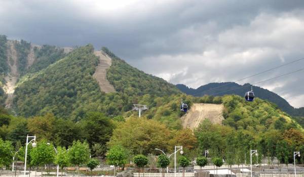
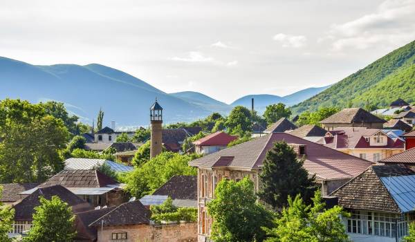
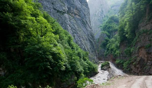
The distance between Baku and Balakan is 471 km. Yevlakh - Sheki - Tbilisi highway passes through Balakan territory. The territory of the district is located on the southern slopes of the Greater Caucasus at an altitude of 300 meters above sea level. The mountainous zone covers about half of the region's territory.
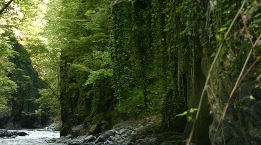
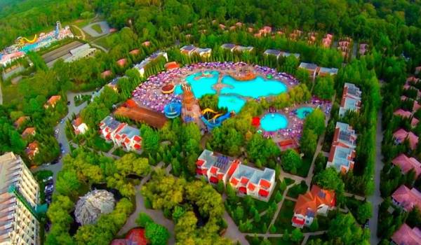
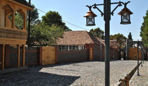
Balaken region of Azerbaijan has colorful nature and great recreation and tourism resources. There are many places to visit in the district. Katekhchay waterfall, Imambulag, Ariliq, Karachay-Razvedka, Mazymgara, Mirovoy Voda, Bagman Spring in Sharif village, etc. from such places.
The territory of the district has 48 thousand ha of forest area. Balakans rich forest cover accounts for 5% of the country's forest resources. The famous flower called Khari Bulbul, which grows nowhere else in the world except Shusha, grows in Balakan region.
The fauna of the region is also rich. Brown bears, mountain goats, wolves, jackals, foxes, wild boars, hares, roe deer, etc. live in mountain and lowland forests. animals live.
The second largest reserve in Azerbaijan - 3/4 of the Zagatala reserve falls on the territory of the Balakan district.
A mild warm and semi-humid subtropical climate is observed in the foothills and plains of the region. The climate in the highlands is cold and humid. 65% of its territory is subtropical, and Balakan ranks second after the Talysh zone in terms of climate potential and subtropics.
Discover more...
Baku
Gabala
Sheki
Nabran
Gakh
Guba